SMAP - SMAP


SMAP Mission
SMAP also has applications in science, agriculture and environmental management, each of them vital to Earth's health and sustainability. From understanding Earth's interconnected climate processes to improving weather and climate prediction models, SMAP continues to advance environmental knowledge.
Learn more about the SMAP Mission.
SMAP and GLOBE
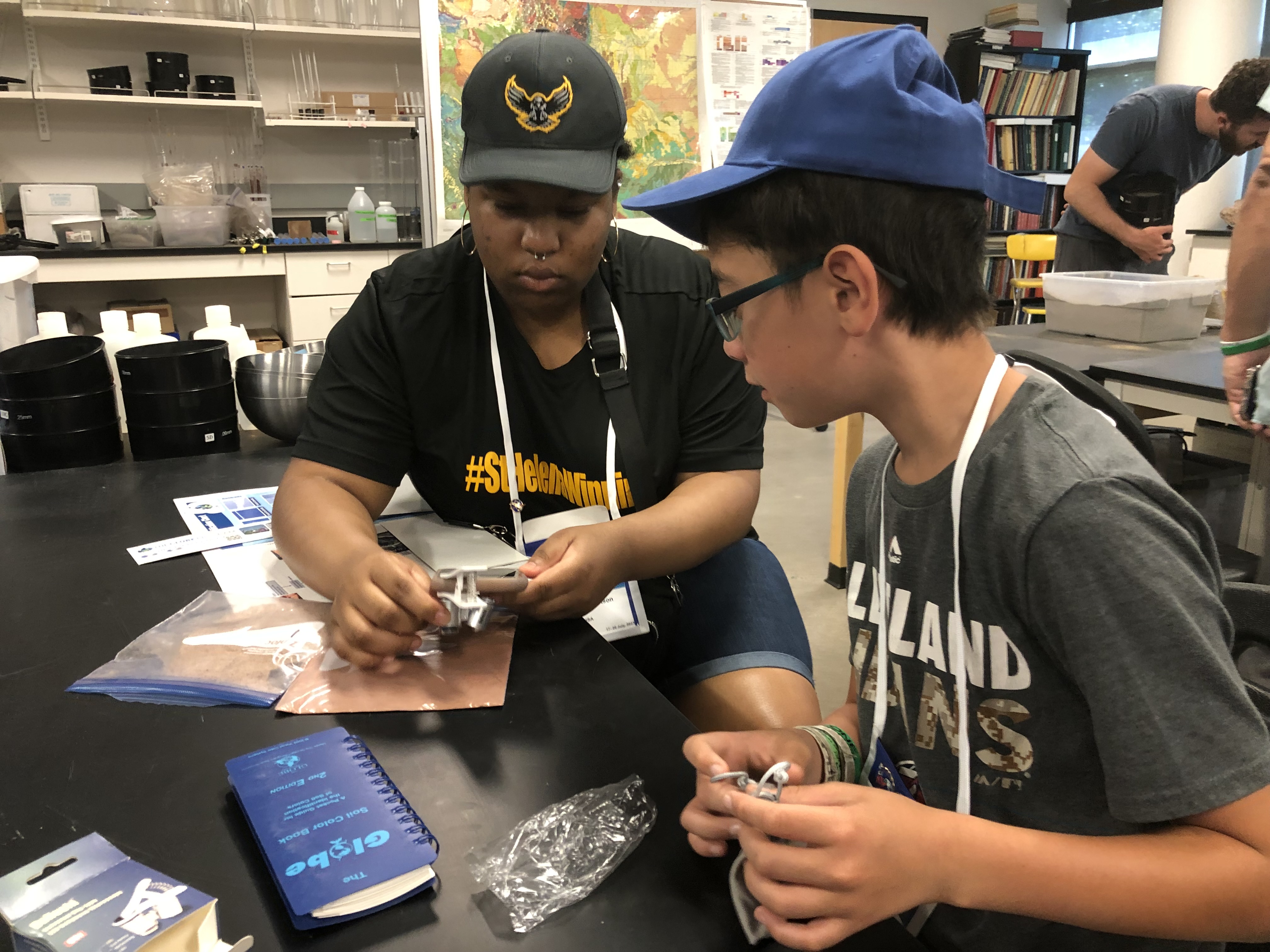
SMAP Benefits from the partnership with GLOBE through the collection of "ground truth" measurements by GLOBE students. These measurements contribute to the SMAP calibration and validation program. Additionally, SMAP receives feedback from students on how SMAP's soil moisture information can be useful to their communities. Through this partnership, the public can participate in, and become more aware of, SMAP's societal contributions and the availability of high-quality SMAP data products.
GLOBE benefits from this partnership through SMAP scientists providing guidance on GLOBE soil moisture protocols and measurement procedures, reviewing the data contributed and interacting with the GLOBE community. Students can also get involved with a NASA mission and learn how satellite information can improve the collective knowledge of Earth systems.
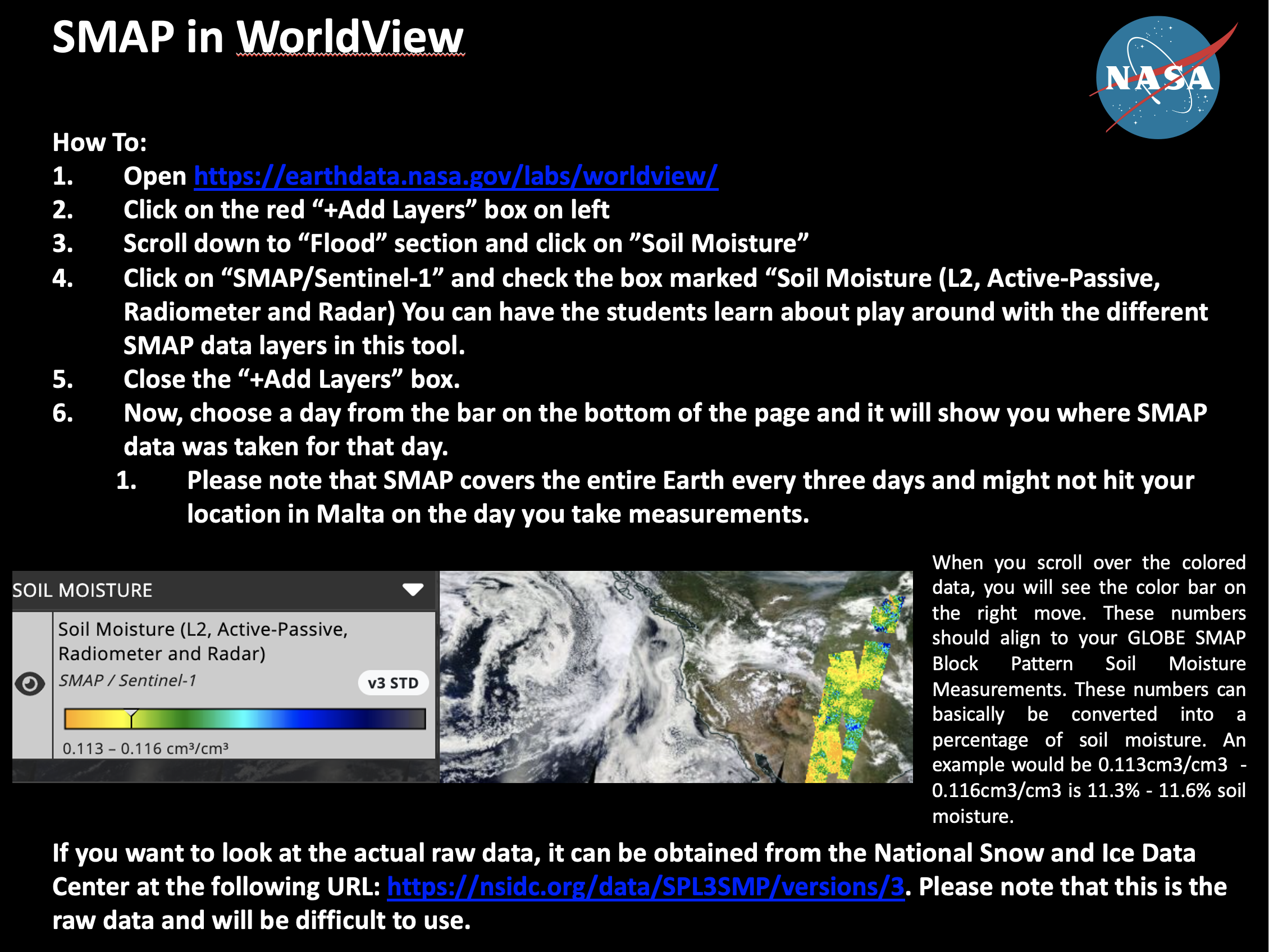
How to Participate
You can participate in the SMAP mission by:
- Collecting data using the SMAP Block Pattern Soil Moisture Protocol
- Coordinating your measurements with the SMAP Overflight Tool
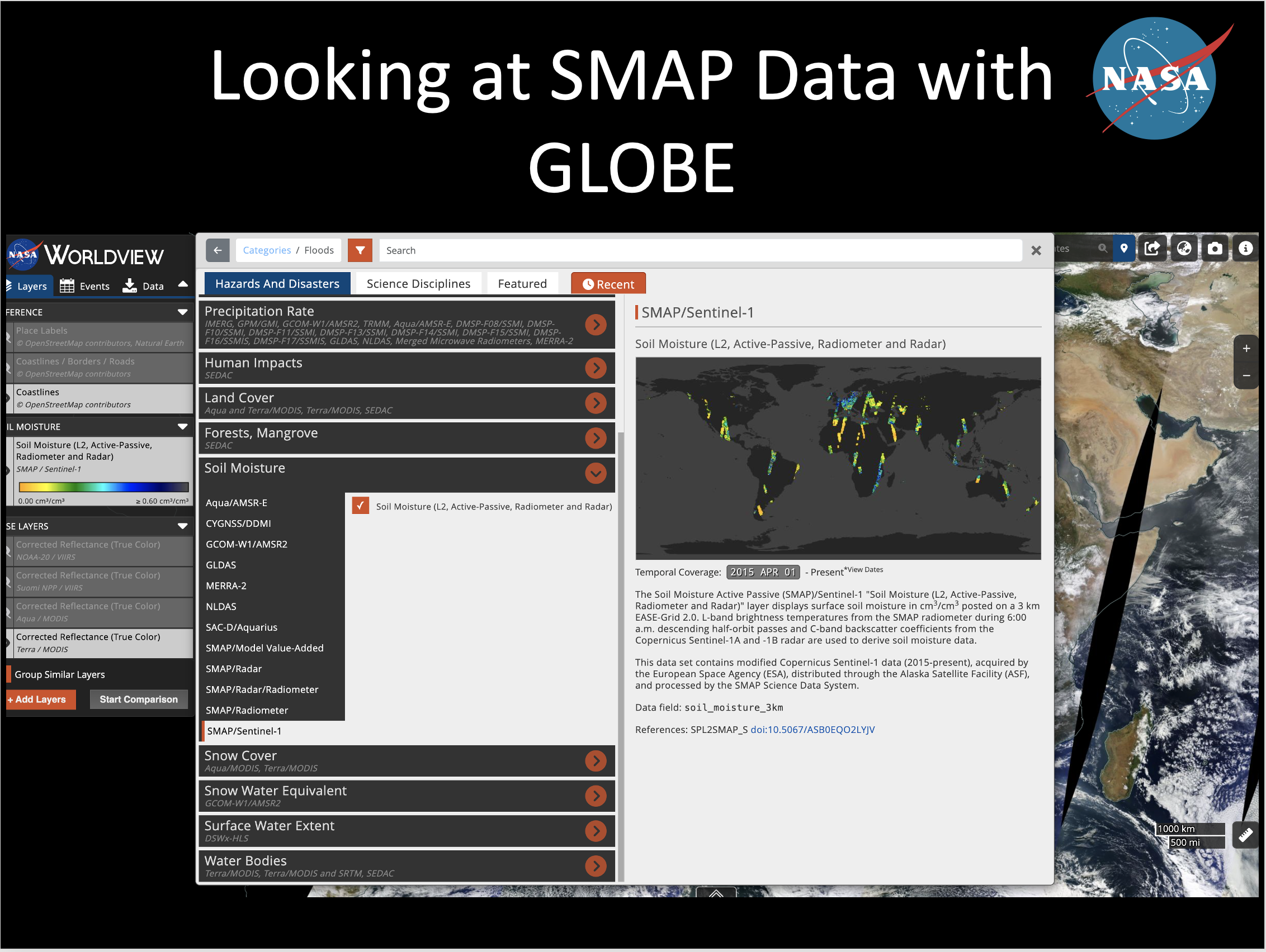
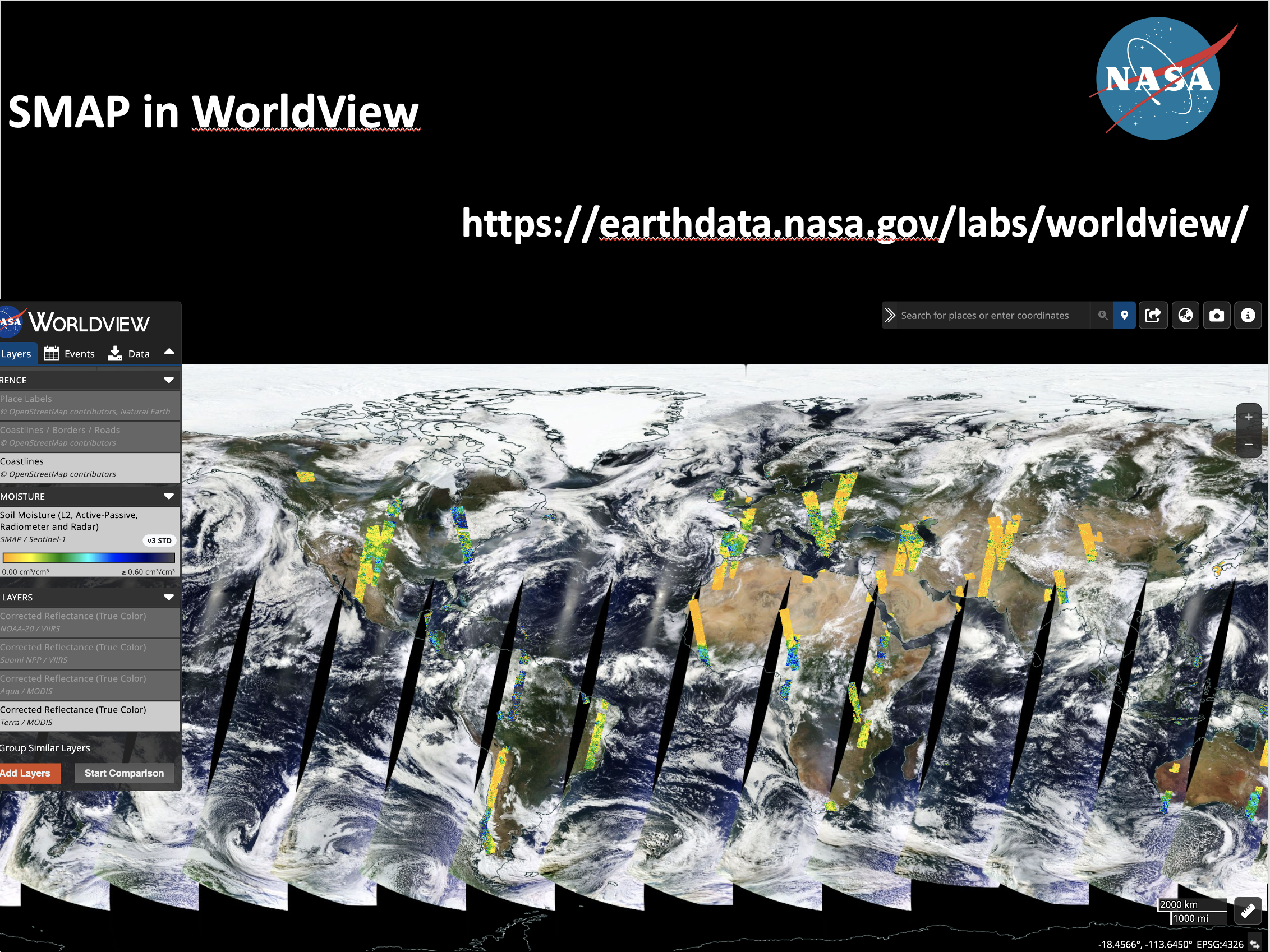
Soil moisture conditions can vary significantly within these pixels, so ground-truth measurements at several point locations can provide more detailed information about the variation in soil moisture conditions within the SMAP measurement footprint. The more ground-truth measurements that are available, the better scientists can validate SMAP soil moisture observations and track soil moisture accurately in the Earth system.
Synchronizing your soil moisture measurement collections with the SMAP spacecraft is the best way to compare the two datasets. The SMAP satellite crosses the equator at approximately 6:00 AM and 6:00 PM, which means that the best time for soil moisture data collection might be in the morning or in the evening. To best determine which days and what collection times your data will have the most impact, you can use the NASA LaRC Satellite Overpass Predictor.
How to Use the Satellite Overpass Predictor
- Go to NASA LaRC Satellite Overpass Predictor.
- In the "Satellite Name" field, select "SMAP"
- Enter in your start date, latitude and longitude.
- Select "Submit."
- Take note of the date and corresponding times under the first "GMT" column. This is the GMT time the SMAP satellite will be overhead in your submitted coordinates on the given date. To determine what your local time is in GMT, you can use this online time conversion tool.